Geography
'Geography explains the past, illuminates the present and prepares us for the future. What could be more important then that?' - Michael Palin
Purpose of Study
The revised aspects of this part of the curriculum are designed to inspire in pupils a curiosity and fascination about the world and its people that will remain with them for the rest of their lives. They will be equipped with knowledge about diverse places, people, resources and natural and human environments, together with a deep understanding of the Earth's key physical and human processes. Geographical knowledge, understanding and skills provide the frameworks and approaches that explain how the Earth's features at different scales are shaped, interconnected and change over time.
Aims
The National Curriculum for Geography aims to ensure that all pupils:
- develop contextual knowledge of the location of globally significant places - both terrestrial and marine - including their defining physical and human characteristics and how these provide geographical context for understanding the actions of processes
- understand the processes that give rise to key physical and human geographical features of the world, how these are interdependent and how they bring about spatial variation and change over time
- are competent in the geographical skills needed to:
a) collect, analyse and communicate with a range of data gathered through experiences of fieldwork that deepen their understanding of geographical processes
b) interpret a range of sources of geographical information, including maps, diagrams, globes, aerial photographs and Geographical Information Systems (GIS)
c) communicate geographical information in a variety of ways, including through maps and writing at length
Key Stage 1
Pupils should develop knowledge about the world, the United Kingdom and their locality. They should understand basic subject-specific vocabulary relating to human and physical geography and begin to use geographical skills, including first-hand observation, to enhance their locational awareness.
Pupils should be taught to:
Locational knowledge
- name and locate the world’s seven continents and five oceans
- name, locate and identify characteristics of the four countries and capital cities of the United Kingdom and its surrounding seas
Place knowledge
- understand geographical similarities and differences through studying the human and physical geography of a small area of the United Kingdom, and of a small area in a contrasting non-European country
Human and physical geography
- identify seasonal and daily weather patterns in the United Kingdom and the location of hot and cold areas of the world in relation to the Equator and the North and South Poles
- use basic geographical vocabulary to refer to:
- key physical features, including: beach, cliff, coast, forest, hill, mountain, sea, ocean, river, soil, valley, vegetation, season and weather
- key human features, including: city, town, village, factory, farm, house, office, port, harbour and shop
Geographical skills and fieldwork
- use world maps, atlases and globes to identify the United Kingdom and its countries, as well as the countries, continents and oceans studied at this key stage
- use simple compass directions (North, South, East and West) and locational and directional language [for example, near and far; left and right], to describe the location of features and routes on a map
- use aerial photographs and plan perspectives to recognise landmarks and basic human and physical features; devise a simple map; and use and construct basic symbols in a key
- use simple fieldwork and observational skills to study the geography of their school and its grounds and the key human and physical features of its surrounding environment.


Key Stage 2
Pupils should extend their knowledge and understanding beyond the local area to include the United Kingdom and Europe, North and South America. This will include the location and characteristics of a range of the world’s most significant human and physical features. They should develop their use of geographical knowledge, understanding and skills to enhance their locational and place knowledge.
Pupils should be taught to:
Locational knowledge
- locate the world’s countries, using maps to focus on Europe (including the location of Russia) and North and South America, concentrating on their environmental regions, key physical and human characteristics, countries, and major cities
- name and locate counties and cities of the United Kingdom, geographical regions and their identifying human and physical characteristics, key topographical features (including hills, mountains, coasts and rivers), and land-use patterns; and understand how some of these aspects have changed over time
- identify the position and significance of latitude, longitude, Equator, Northern Hemisphere, Southern Hemisphere, the Tropics of Cancer and Capricorn, Arctic and Antarctic Circle, the Prime/Greenwich Meridian and time zones (including day and night)
Place knowledge
- understand geographical similarities and differences through the study of human and physical geography of a region of the United Kingdom, a region in a European country, and a region within North or South America
Human and physical geography
- describe and understand key aspects of:
- physical geography, including: climate zones, biomes and vegetation belts, rivers, mountains, volcanoes and earthquakes, and the water cycle
- human geography, including: types of settlement and land use, economic activity including trade links, and the distribution of natural resources including energy, food, minerals and water
Geographical skills and fieldwork
- use maps, atlases, globes and digital/computer mapping to locate countries and describe features studied
- use the eight points of a compass, four and six-figure grid references, symbols and key (including the use of Ordnance Survey maps) to build their knowledge of the United Kingdom and the wider world
- use fieldwork to observe, measure, record and present the human and physical features in the local area using a range of methods, including sketch maps, plans and graphs, and digital technologies.
Fieldwork
Why do fieldwork?
Fieldwork is the jewel in the crown of geography and should be done regularly because@
- It engages children with real-world learning
- It enables purposeful data collection
- It connects children to their local environment, creates memories and helps develop identity
- It helps explain the often 'messy' nature of geography in the real world, compares this to theory, and so deepens understanding
- It promotes curiosity, vocabulary acquisition, creativity and critical thinking
- It provides a genuine context for geographical skills and enquiry
What does good fieldwork look like?
Fieldwork combines knowledge with skill and requires children to think about what places are like and why, where places are and why, and how they connect to other places. Good fieldwork:
- allows pupils to enquire about places at first hand
- requires pupils to use and practise a range of skills in a variety of contexts
- builds core knowledge and a sense of place
- has a strong spatial dimension and develops understanding of location
- revisits and investigates the same location over time, noting change and different aspects of place
- visits a range of places near and far and encourages children to look further and deeper
- develops creative and critical thinking
- builds on pupils own questions and ideas
- often has purposeful outcomes
(Geographical Association 2023)
Geography at Home
How can you encourage Geography at home?
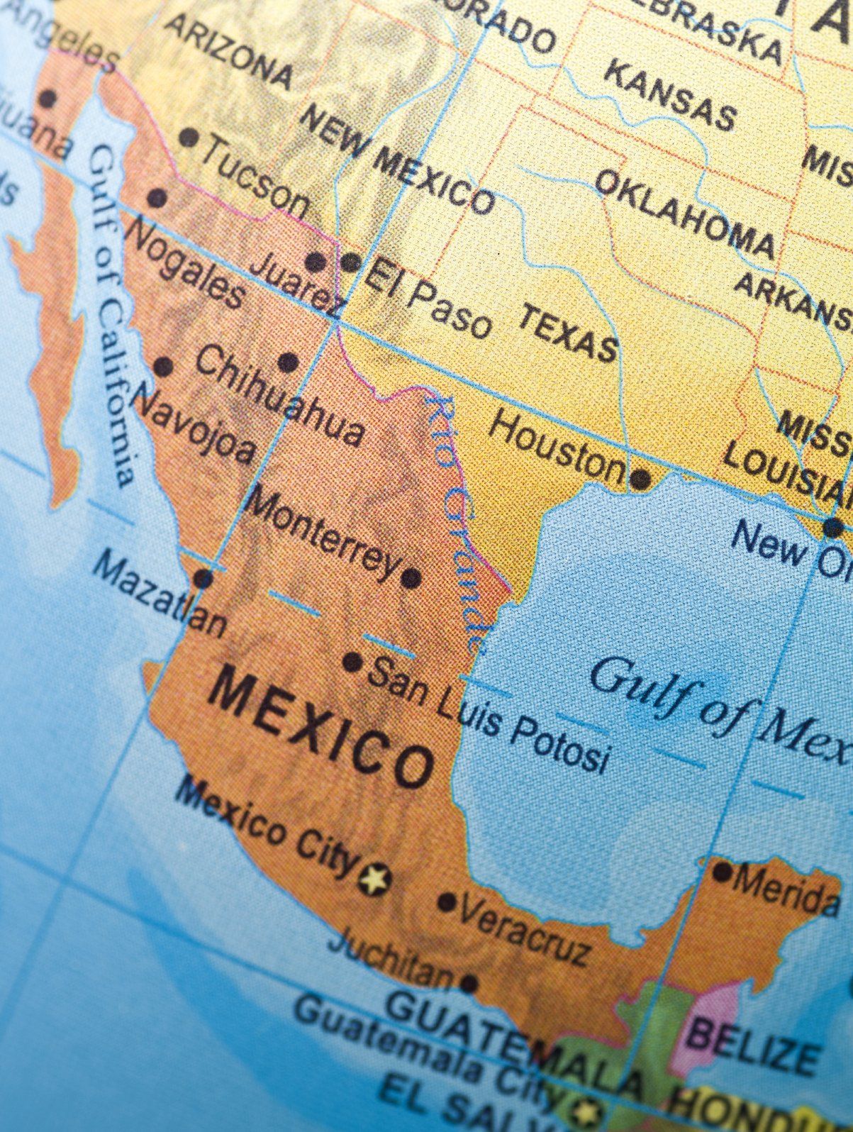
Encourage free exploration of maps and globes around your home
Try putting together a map puzzle. Younger children with have success with larger puzzle pieces. Why not invite your child to pick a place on the map or globe and plan a make-believe trip. Have him or her design a travel itinerary with places to visit, clothes to pack, and transportation

Help your child draw a map of your home.
Drawing a map of your home will introduce your child to spatial awareness. Be sure to have your child label each room and include drawings of furniture.

Explore food around the world by introducing multi cultural recipes.
Why not make it a party and invite friends to bring a dish from a specific county or culture.

Read books about different places and people.
Here are a few suggestions:


Geography Online
GLOBLE
Every day there is a new Mystery Country. Your goal is to guess which country it is using the fewest number of guesses. Each incorrect guess will appear on the globe with a colour indicating how close it is to the mystery country. The hotter the colour, the closer you are to the answer.
Can you find the mystery country?